")


The polar vortex is so back, and in some parts of the country, the weather system will bring with it up to a foot of snow. If “polar vortex” is giving you déjà vu, that’s because we’ve heard it before. The terminology refers to periodic outbreaks of frigid air and winter weather that enter the U.S. during the cold season. The phenomenon is nothing unusual, but it is the first of the 2025-26 winter season, and the first week of December is bringing a few winter storms that could affect your ski plans.
But what does that mean for your upcoming ski weekend?
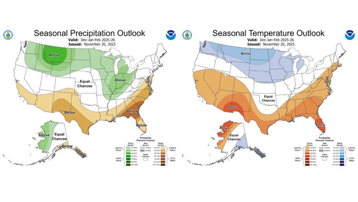
“The fact that we are anticipating colder and wetter conditions in the northern Rockies this winter is good news for snowpack,” Trey Cade, a meteorologist and director of Baylor University’s Institute for Aviation Services, told Outside.
Here’s what you can expect.
Northern Rockies and High Plains
The Northern Rockies and High Plains will see moderate to heavy snowfall, with 6 to 12 inches expected at high elevations, and between 3 and 6 inches along the front range.
“More moderate to heavy snow is expected in the northern Rockies on Thursday, with continued snow chances in the northern Rockies and northern tier of states through the weekend,” Cade told Outside. “Below normal temperatures will dominate through the weekend, warming some as we go into next week. There’s also the potential for high winds early next week in the northern Rockies.”
With a La Niña winter on the horizon, be sure to check out these alpine getaways expected to have epic snow in the forecast.
Midwest and Great Lakes
In the Midwest and Great Lakes regions, Cade says that lake-enhanced snow is expected. This happens when cold air sweeps across a warmer body of water, such as the Great Lakes, and absorbs its moisture and heat. Below normal temperatures will also dominate through the weekend—10 to 15 degrees colder than usual—with lows potentially reaching the negative teens.
Pacific Northwest
Wintry precipitation at high elevations is anticipated for the Pacific Northwest, with moderate to heavy snow in the Cascades, said Cade. Periods of coastal rain and mountain snow will continue through the weekend.
“In general, most of the northern U.S. should see a drier warming trend going into the next weekend, with the exception of the Pacific Northwest seeing more winter weather,” he added.
Northeast
The polar vortex isn’t bringing anything unusual to the northeastern region, with “average” precipitation conditions expected, said Cade, though some states are expecting frigid temperatures. New York and Boston, for example, are expecting some of the coldest temperatures of this season yet,
Colder, snowier conditions associated with the movement of the polar vortex are typically predicted about two weeks in advance. While Cade says meteorologists cannot forecast with certainty when the next one will happen, there will likely be periodic winter storms, especially those affecting the northern U.S., over the next few months.
“What we can do, with less certainty, is estimate the average conditions for the winter season, and those predictions show that temperatures in the northern Rockies and central Plains are expected to be lower than average with higher than usual precipitation amounts,” said Cade.
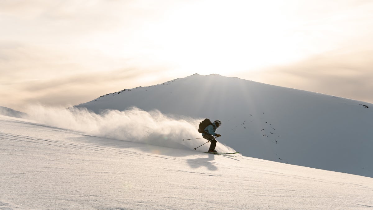
In other words, it’s high time to wax those skis and break in your boots. Winter is officially here.
The post The Polar Vortex Is Coming. Here’s What Experts Say It Means for Your Ski Plans. appeared first on Outside Online.