
Ever heard of the TransAmerica Trail? No surprise if you haven’t. The under-the-radar route stitches together backroads and dirt tracks, creating an epic journey from coast to coast. The route is a national treasure, but reliable info about it has been hard to find, and for years the TransAmerica Trail has remained an experts-only affair. Until now. Ford and Google Maps decided to flip the script, making it something every off-roader can plan, preview, and take on themselves.
To do that, Ford joined forces with Google Maps on an ambitious mission: capture the entire journey in Google Street View. The team tackled the rugged terrain with a three-vehicle convoy: a 2025 Ford Bronco® Badlands® equipped with Google’s new Street View camera and an Expedition® Tremor® and Ranger® Lariat® to carry the crew and tools that made it all possible.
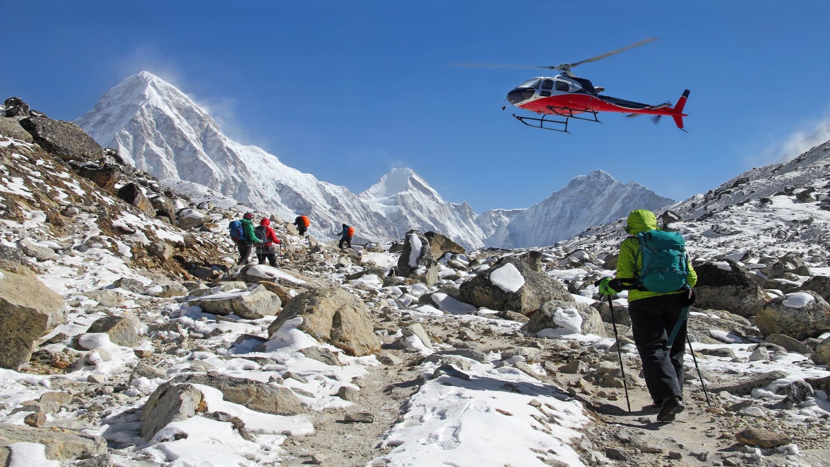
Like any big adventure, the TransAmerica Trail has plenty of unpaved challenges: loose sand, sucking mud, and jagged rock, plus route variations that can make it longer or shorter. The adventurous route crosses 13 states over 5,900 miles with some of the best hiking, camping, biking, climbing and paddling in the country along the way. And now it’s easier than ever to discover it all for yourself.
Learn more about Exploring America’s Longest Off-Road Trail and how you can easily follow this under-the-radar route.
Ford Motor Company is a global company based in Dearborn, Michigan, committed to helping build a better world, where every person is free to move and pursue their dreams. The company’s Ford+ plan for growth and value creation combines existing strengths, new capabilities and always-on relationships with customers to enrich experiences for customers and deepen their loyalty.
The post Exploring the TransAmerica Trail appeared first on Outside Online.