The Coronado Trail (U.S. Route 191) is a legendary scenic highway that runs through eastern Arizona, often called one of the most beautiful — and most winding — drives in the United States.
Key Features:
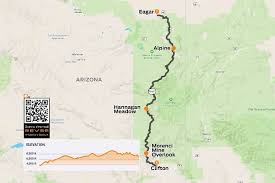
- Location: Runs between Springerville and Clifton, Arizona, through the Apache-Sitgreaves National Forests.
- Length: About 120 miles.
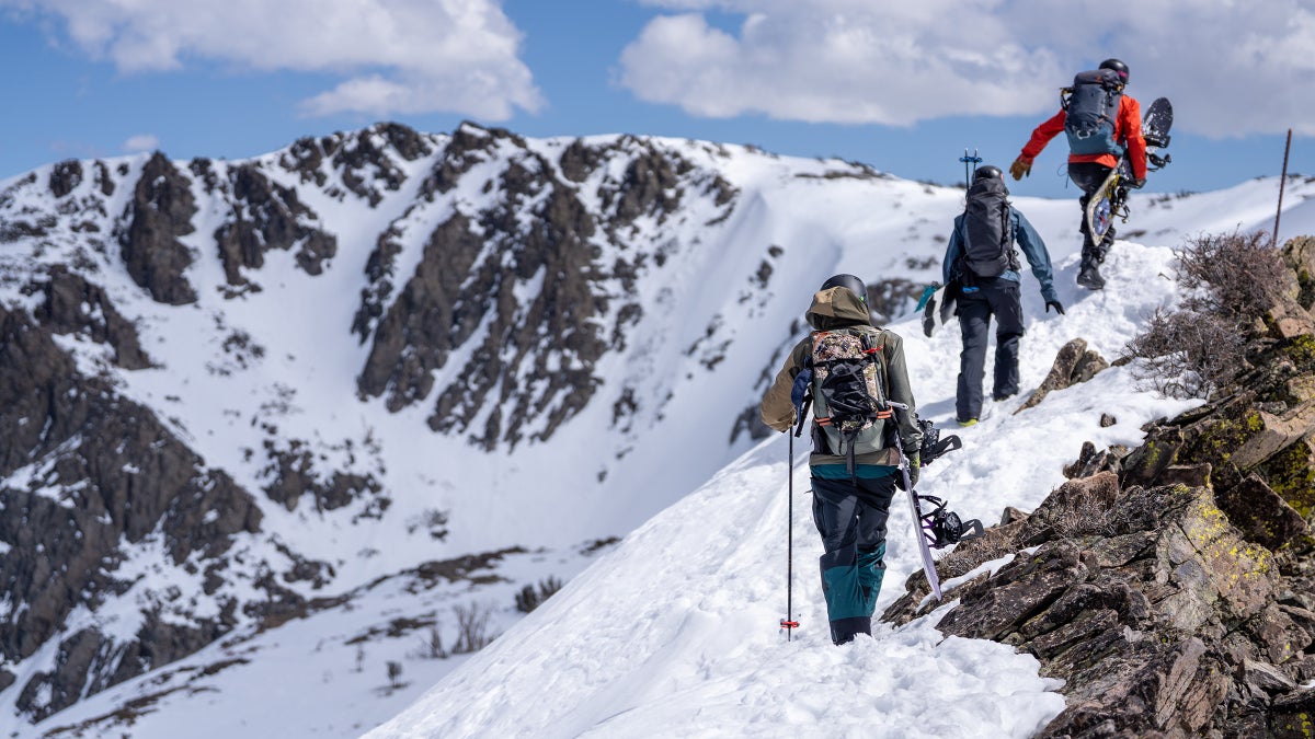
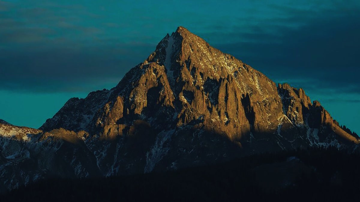
- Scenery: You’ll pass through high alpine forests, deep canyons, rolling meadows, and rugged desert landscapes. In the fall, the aspens and cottonwoods turn brilliant gold.
- Curves: The road has over 400 switchbacks, making it a favorite for motorcyclists and adventurous drivers (but tough for RVs and trailers).
- Elevation: Climbs from around 3,500 feet in Clifton to more than 9,000 feet near Hannagan Meadow.
- Wildlife & History: You might see elk, deer, and black bears. The trail is named for Spanish explorer Francisco Vásquez de Coronado, who passed through the region in the 1540s searching for the mythical Seven Cities of Gold.
- Stops Along the Way:
- Clifton & Morenci Mine – one of the world’s largest open-pit copper mines.
- Hannagan Meadow – high mountain lodge and recreation area.
- Alpine & Springerville – small towns with food, lodging, and history.
Driving Tips:
- Allow 4–5 hours to drive the full route.
- Gas up before leaving — services are scarce along the middle stretch.
- Best in summer and fall; parts can be snowy or icy in winter.
👉 Some call it “the curviest road in America.”