


Anyone who knows me will tell you I’ve been screaming about the political manipulation of flood maps for decades. What just happened in Texas was a tragic example. FEMA regulators repeatedly granted appeals to remove Camp Mystic’s buildings from their 100-year flood map and loosened oversight as the camp operated and expanded in a dangerous flood plain. Via the Associated Press:
The Federal Emergency Management Agency included the prestigious girls’ summer camp in a “Special Flood Hazard Area” in its National Flood Insurance map for Kerr County in 2011, which means it was required to have flood insurance and faced tighter regulation on any future construction projects.
That designation means an area is likely to be inundated during a 100-year flood — one severe enough that it only has a 1% chance of happening in any given year.
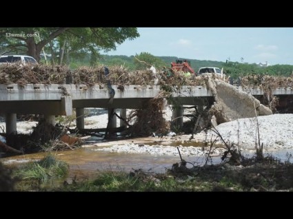
Located in a low-lying area along the Guadalupe River in a region known as flash flood alley, Camp Mystic lost at least 27 campers and counselors and longtime owner Dick Eastland when historic floodwaters tore through its property before dawn on July 4.


